Implementation
This section includes two parts: the Implementation Guide and the Illustrative Concepts. The Implementation Guide, which is not adopted policy, helps staff ensure that public and private development aligns with the defined vision for the West Inner area, while the Illustrative Concepts provide a visualization for how areas recommended for change may evolve over time, including how existing conditions, policies, and regulations influence development and redevelopment.
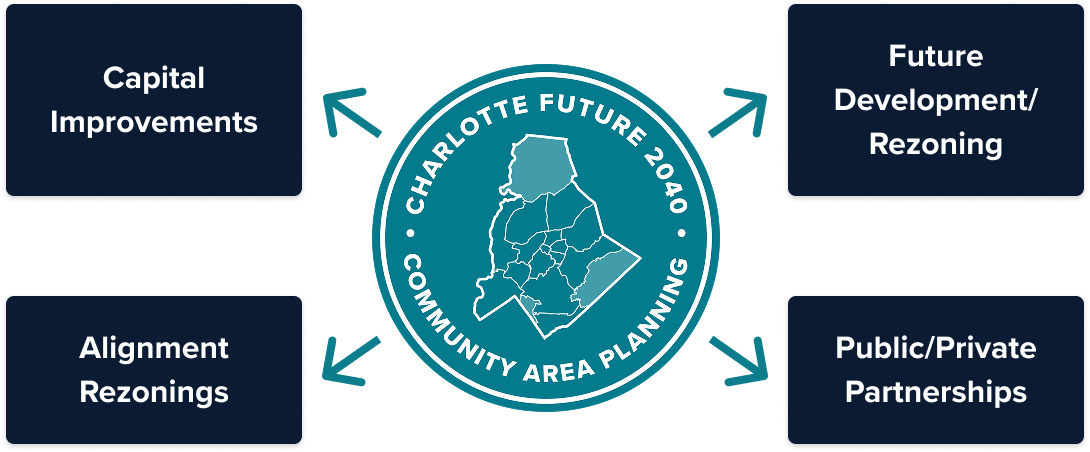
Implementation Guide
Achieving the vision outlined in this plan will occur incrementally over time through the combined efforts of local government, private property owners, residents, developers, and many others. Local government will guide change, oversee progress, and improve some infrastructure to support the CAP plans. Developers and property owners may invest in their local area when the time is right. Neighborhoods can use the Neighborhood Toolkit, which includes over 40 programs and resources to help meet their needs and reach their goals.
The assessments and recommended policies included in the Community Area Plans provide guidance to decision-makers for future development and redevelopment and promote equitable growth at the community level. While the plans are adopted and recognized by City Council and other decision-making bodies, the recommended policies are not required by law.
The Implementation Guide is a staff document that outlines specific strategies across the key topical components of the CAP Plans: Creating Complete Communities, Mobility, Open Space, Environmental Justice, Community Character, and Public Services & Facilities. The Guide incorporates implementation details for various partners, assigns responsibilities to lead agencies, and suggests timeframes for advancing the work. These actions do not imply a public or private commitment or secured funding. The Implementation Guide also includes more detail about the specific Strategic Investment Plan (SIA) project bundles and priorities that apply to the West Inner area.
Illustrative Concepts
As illustrated in the Creating Complete Communities chapter of this plan, some areas are recommended to evolve into new Place Types, predominantly from more auto-oriented and sprawling development patterns to more compact and walkable mixed-use Place Types. These strategic transitions will help to accommodate the city’s projected growth, to increase access, and to minimize environmental impacts. Change is expected to be incremental, occurring gradually over time. This means that new development will happen on a site-by-site basis. To illustrate how these areas might evolve, the following hypothetical concepts for two focus areas within West Inner feature the types of changes that are recommended in a visualized format to aid in broad understanding. These concepts are not an endorsement or guarantee of what will be built.

Rozzelles Ferry Road & W Trade Street
Existing development is currently Commercial and Manufacturing & Logistics, characterized by car-oriented destinations, typically within low-rise buildings located along major streets or near interstates. The area is recommended to evolve into Innovation Mixed-Use, which is characterized by mid-rise structures and a variety of integrated employment uses (research and development, studios, light manufacturing), and some supporting multifamily housing. This evolution will add a greater mix of uses and density to the area, as well as integrated mobility, open space, and placemaking upgrades.
Freedom Drive & Alleghany Street
Existing development is currently Commercial and characterized by car-oriented destinations, typically within low-rise buildings located along major streets or near interstates. The area is recommended to evolve into Neighborhood Center, which is characterized by a mix of neighborhood-serving uses (retail, dining, office, commercial services) within low-rise buildings in a pedestrian-oriented and easily accessible environment. This evolution will add a greater mix of uses and density to the area, as well as integrated mobility, open space, and placemaking upgrades.